

Aerial Surveying & Visual Documentation
Drone-Enabled Aerial Surveying to Support Construction & Roofing Professionals
Rapid, fully compliant aerial data that helps you inspect, document, and quote with confidence.
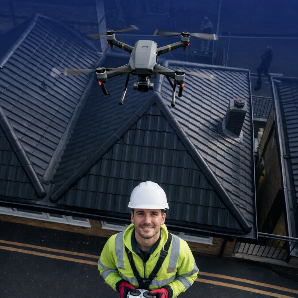
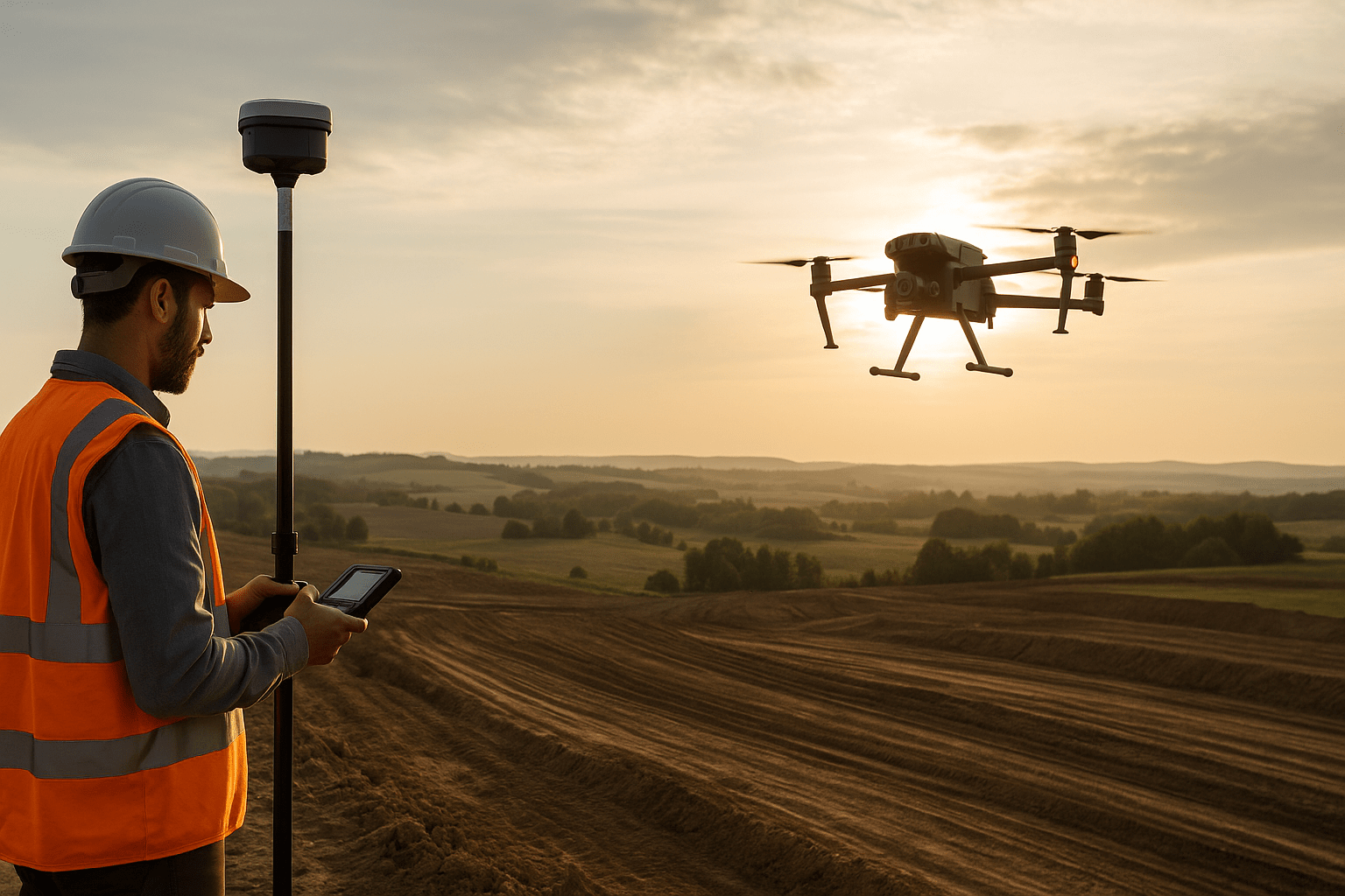
Apeiron now offers professional aerial surveying and inspection services using advanced drone technology. We deliver high-resolution imagery, inspection reports and visual data to support roofers, builders, developers and surveyors safely, efficiently and cost-effectively.
Why you should use aerial surveying
Safer Risk Management — No need to climb ladders unnecessarily
Faster Quote Turnaround — Get visual data within 24–48 hrs
Improved Accuracy — See parts of a roof or site that are hard to access
Visual Client Evidence — Professional imagery you can share with clients
Non-Destructive & Compliant — Full CAA compliance (A2 CofC + insurance)
What We Provide
✔ Roof Inspection Imagery & Visual Reports
✔ Construction Progress Documentation
✔ Aerial Site Mapping for Planning / Quoting
✔ Asset & Façade Inspections
✔ Safe, Ground-Based Quoting Support
✔ Branded Downloadable Reports
How It Works
Book a time – Quick online scheduling or phone
Site visit & flight – Data captured safely and legally
Processing – Images uploaded + reports created
Delivery – Branded PDF / downloadable imagery